|
Flying into
Bridgeport California
! |
 |
|
Best time of the year to go? |
This place clearly has seasons, I don't
think there is a bad time to go but spring and summer would
be best. |
|
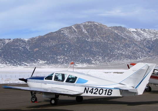
Flight time in a Super Viking from KAJO? |
2.0 |
|
Food on the airport? |
No, several within walking distance
however. |
|
Fuel on airport? |
Yes, a little high |
|
Landing or Handling fees? |
No |
|
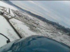
Comments about arriving and departing. |
Watch the density altitude. |
|
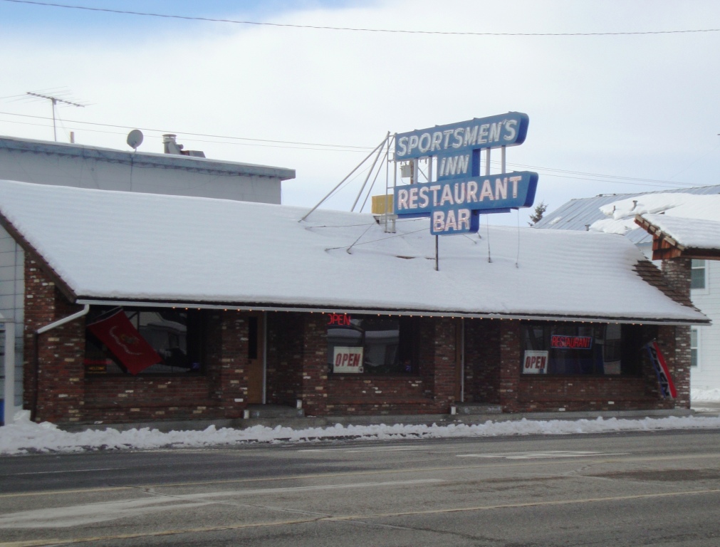
Things to do at or near the airport. |
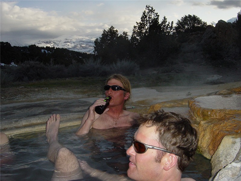
Several places to eat in town. The museum
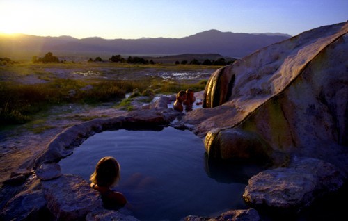
is an easy walk too. Bring your fishing pole! Travertine Hot
Springs is near by but you'll need transporation. |
|
Rate this stop with 10 being best, 5 average. |
8.0, a nice little day trip. |
|
|
Bridgeport, a Gem in the Eastern Sierra's
|
|
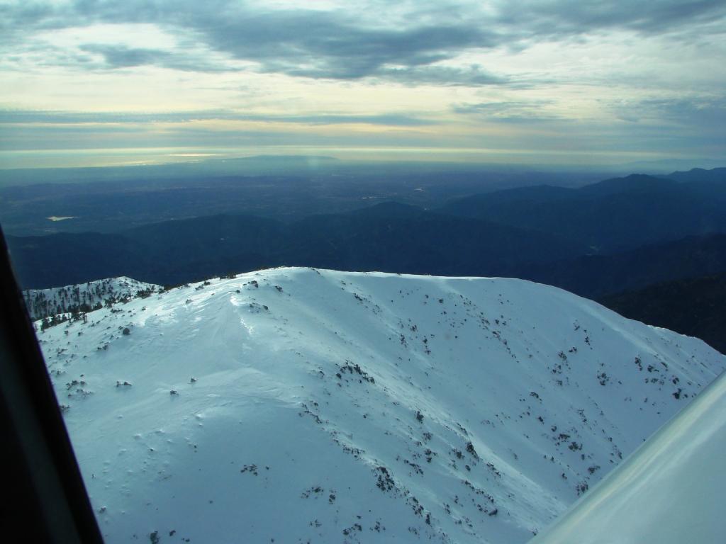
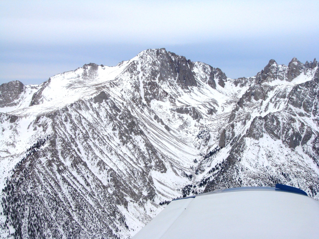
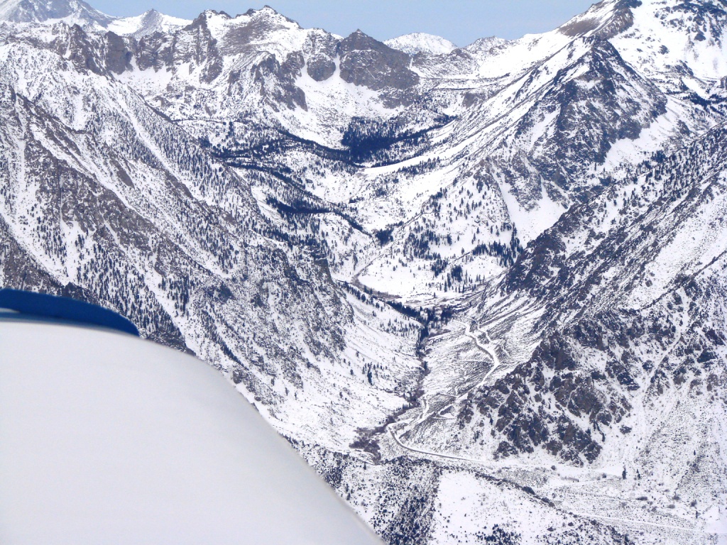
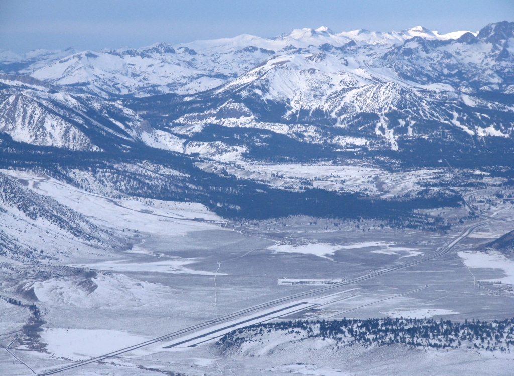
This trip has been in my to-do book for 2 years. I've wanted to wait
for a fresh snowfall in the Sierra's, the flight up the Owens Valley
in the morning light is spectacular. Most people, including myself,
fly the western side of the Sierra's. Flying up the
San Joaquin Valley is very benign and frankly boring. Try the east
slope for a fun trip.
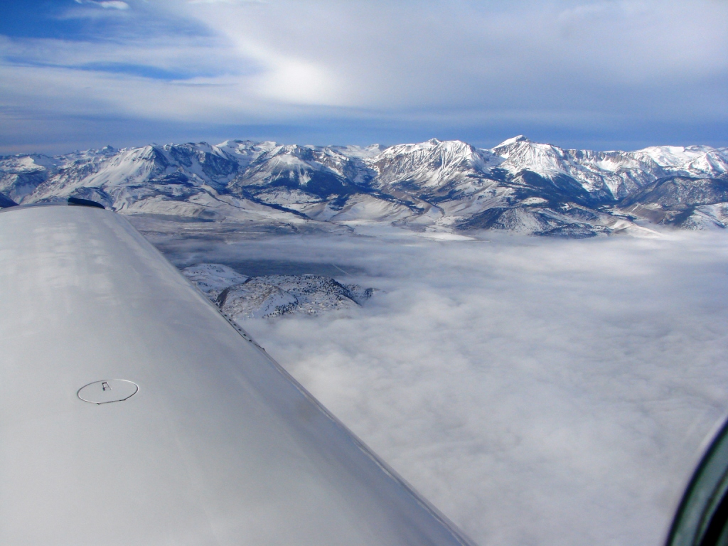
What to watch out for:
- The Edwards Complex is huge. There are several Restricted Areas and MOA's. On the weekend these areas are generally cold and you can
fly though the Restricted Airspace at or above 6,000
when
talking to Joshua Approach.
- It can be turbulent north of China Lake so you want to
go when the winds aloft are light.
- VFR is required, the MVA's (no
MEA's) are really
high.
I like to fly over the eastern slope at
12,500/11,500 keeping the valley floor within gliding distance to
the east. Like I said the view is spectacular, you can see Mt Whitney and far into
the high country.
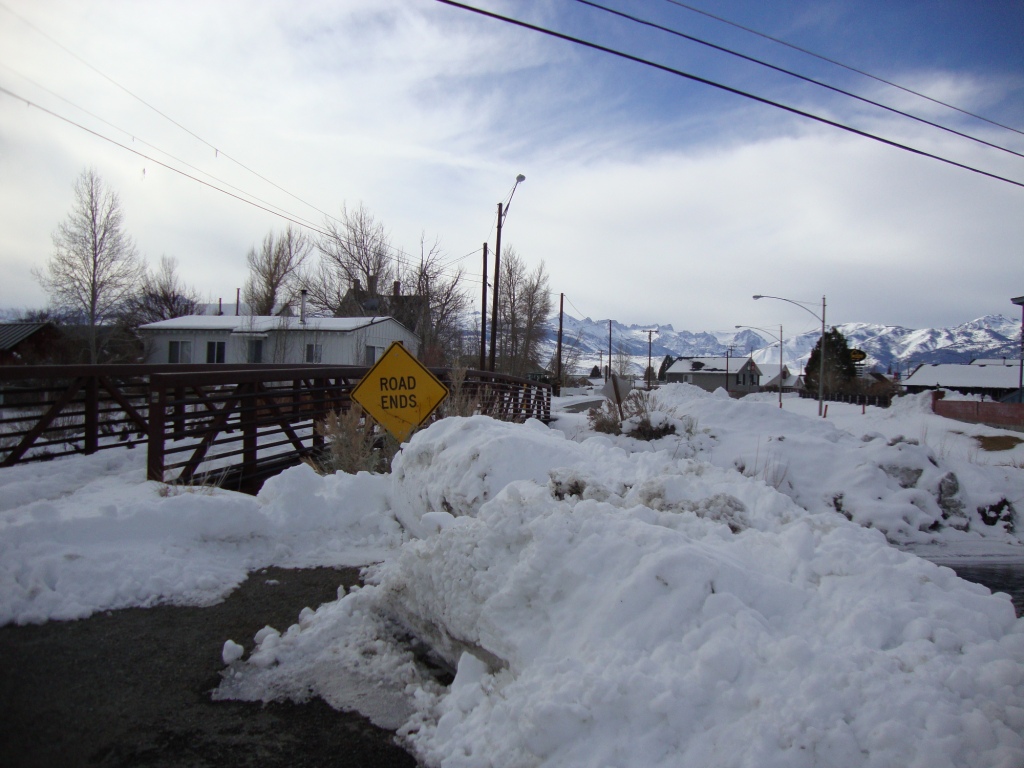
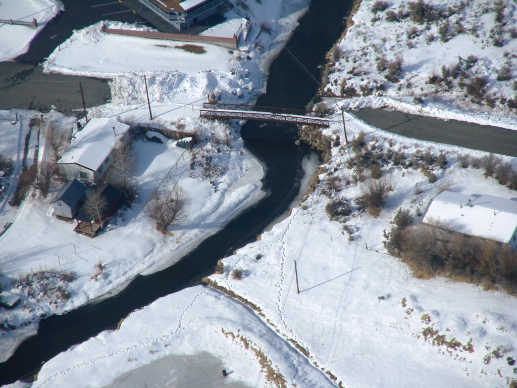
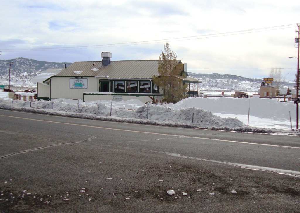
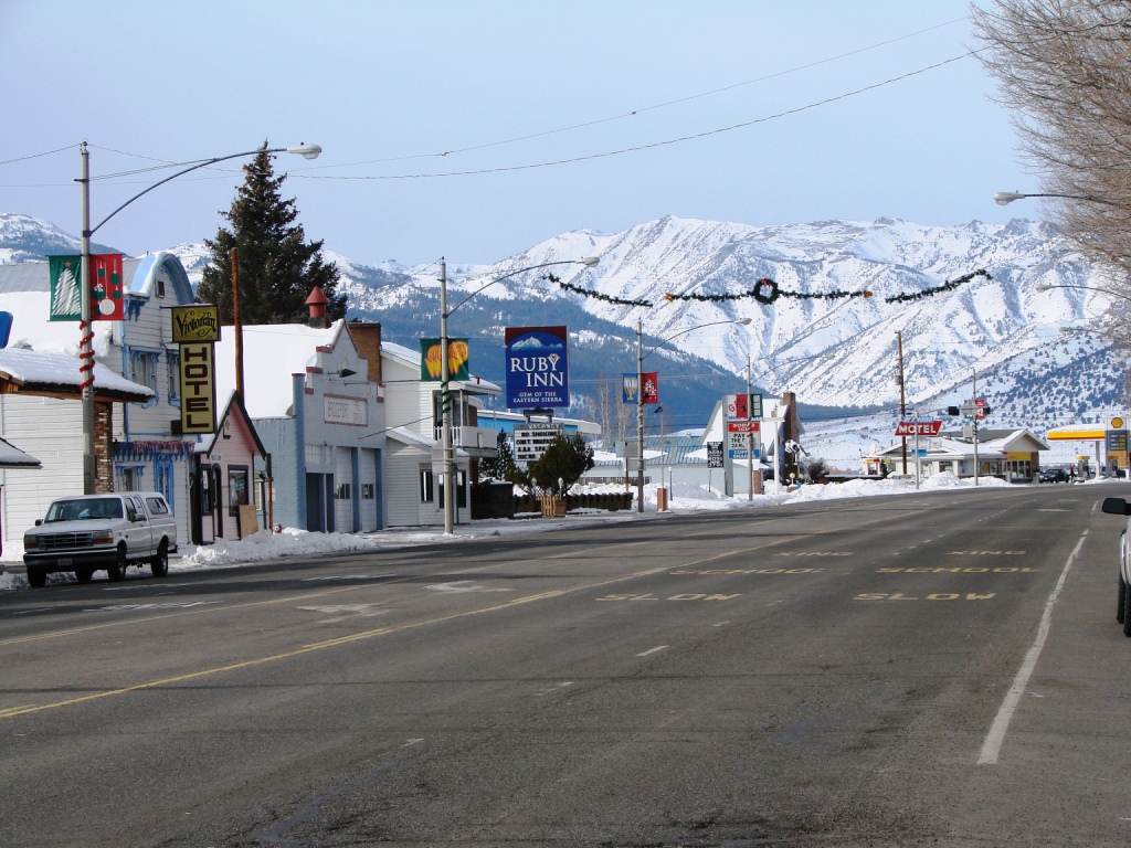
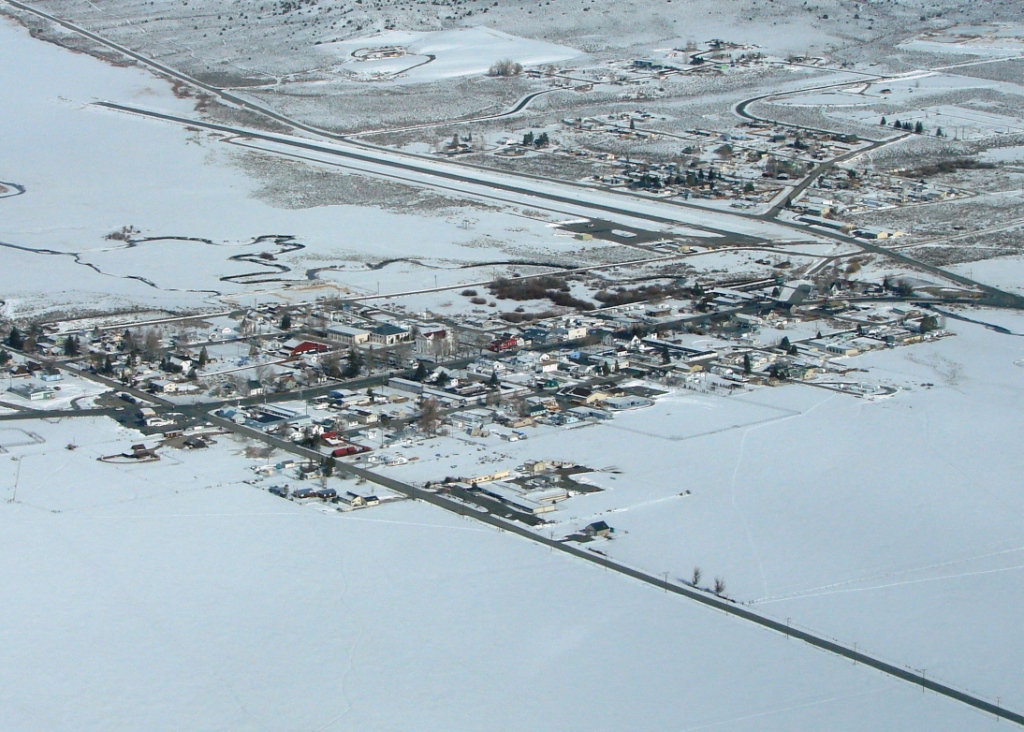
Bridgeport is a nice little town with several
places to eat. Highway 395 doubles as Main Street. As you leave the
airport turn left, right at the first intersection and
across the foot bridge to town. The first place you'll come to is
the Hays Street Cafe
where we enjoyed breakfast.
Continue west on Main Street and you'll find several other places to
eat too.
|
|
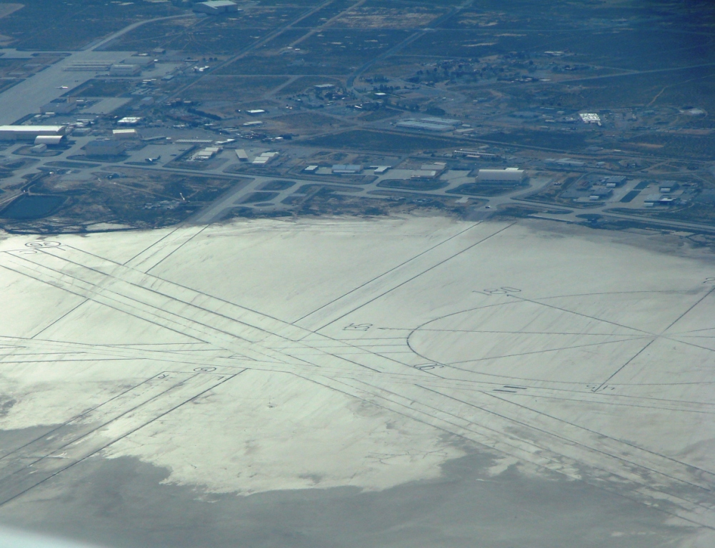
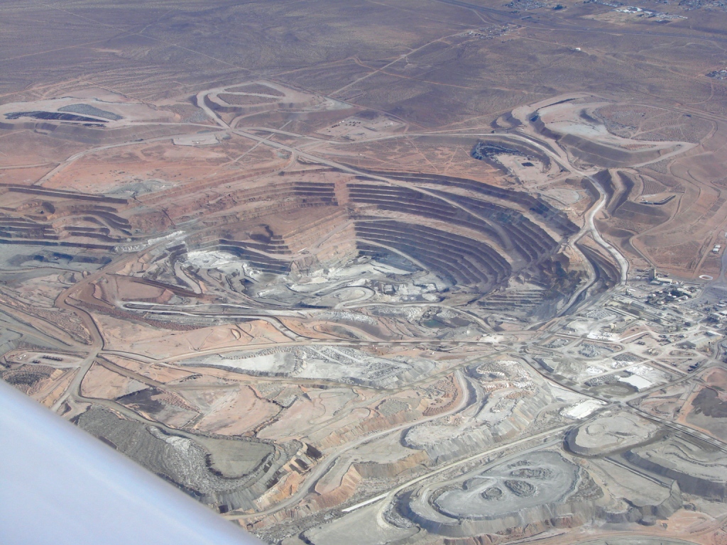
Pictures
From Our Trip ! |
|
|
|
|

.jpg)
.jpg)