|
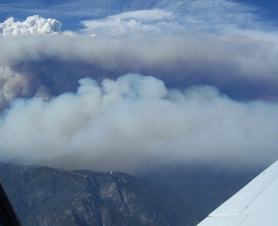
Flying over
the Station Fire ! |
 |
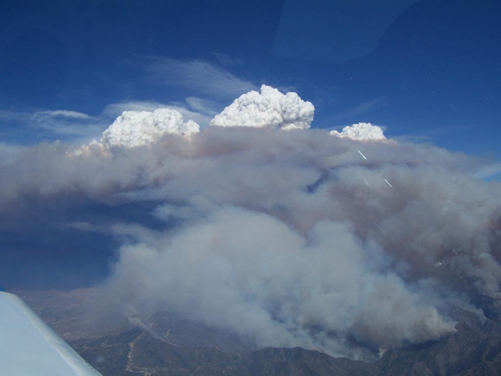
 Cumulonimbus clouds forming above the
Station Fire.
Cumulonimbus clouds forming above the
Station Fire.
|
|
The Home of Bellanca N4201B |
|
Four major fires are burning in the
SoCal area and my route of flight took me over the largest, the
Station Fire. The day I shot this the fire was 4 days old but
expected to burn for another 2 weeks. The TFR went to 7,000 feet and
I crossed well above that after checking with approach control that we
agreed on the top of the TFR. These TFR's can change by the minute,
I've seen Flight Service, Air Traffic Control and XM Weather all
giving different information. I'll often ask ATC to verify the
height of the TFR so it's on tape.
|
|
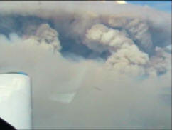
Flying over
the Station Fire! |
|
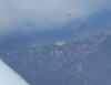 |
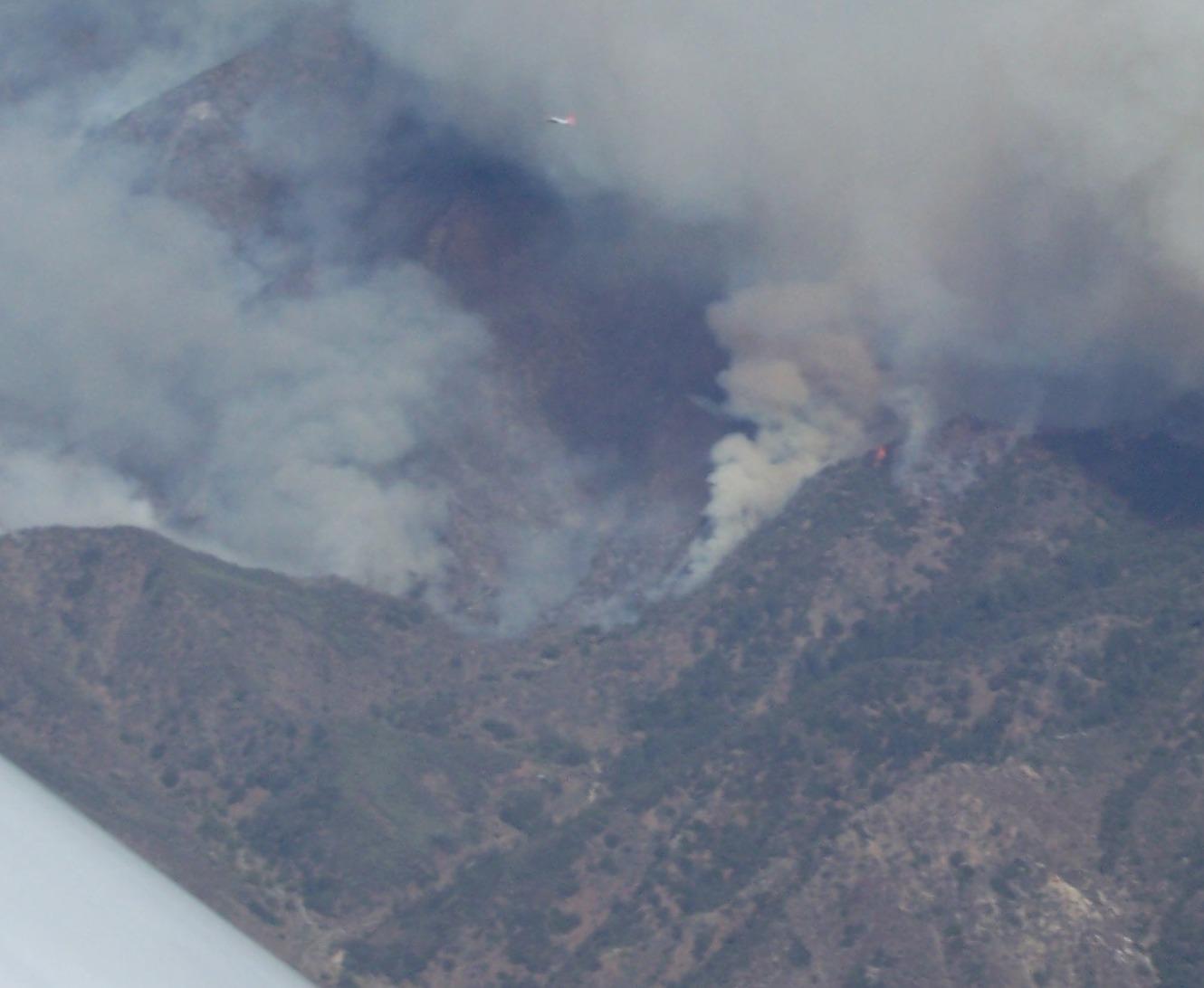
I expected the fire fighter tankers over
flying a forest fire. I didn't think about all the NEWS
helicopter traffic. |
 |
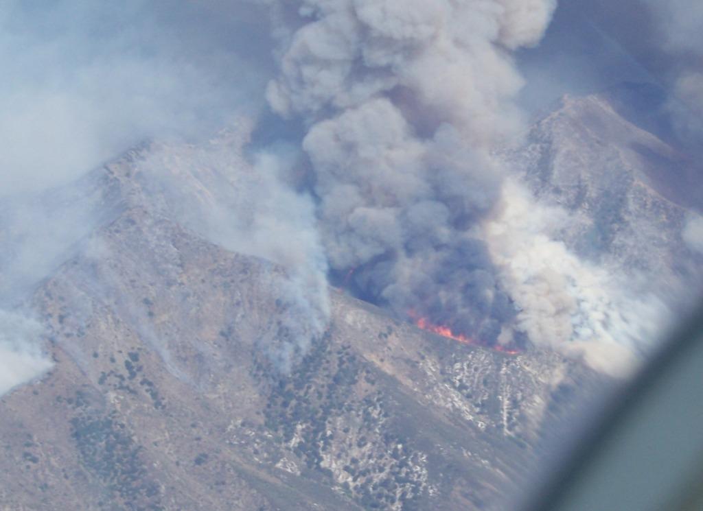
A tanker goes into the smoke to attack
the Station Fire. |
 |
A ridge line goes up. |
 |
Mount Wilson |
|
|
|